Globally, soil mapping is done traditionally by skilled soil surveyors who know the area well, spend much time in the field, take soil samples at regular intervals, and draw a field soil map that is later printed.
But what if this entire process could be digitized with more accuracy and lower costs within a shorter time? Sounds better and beneficial, doesn’t it?
Digital Soil Mapping (DSM) is the answer!
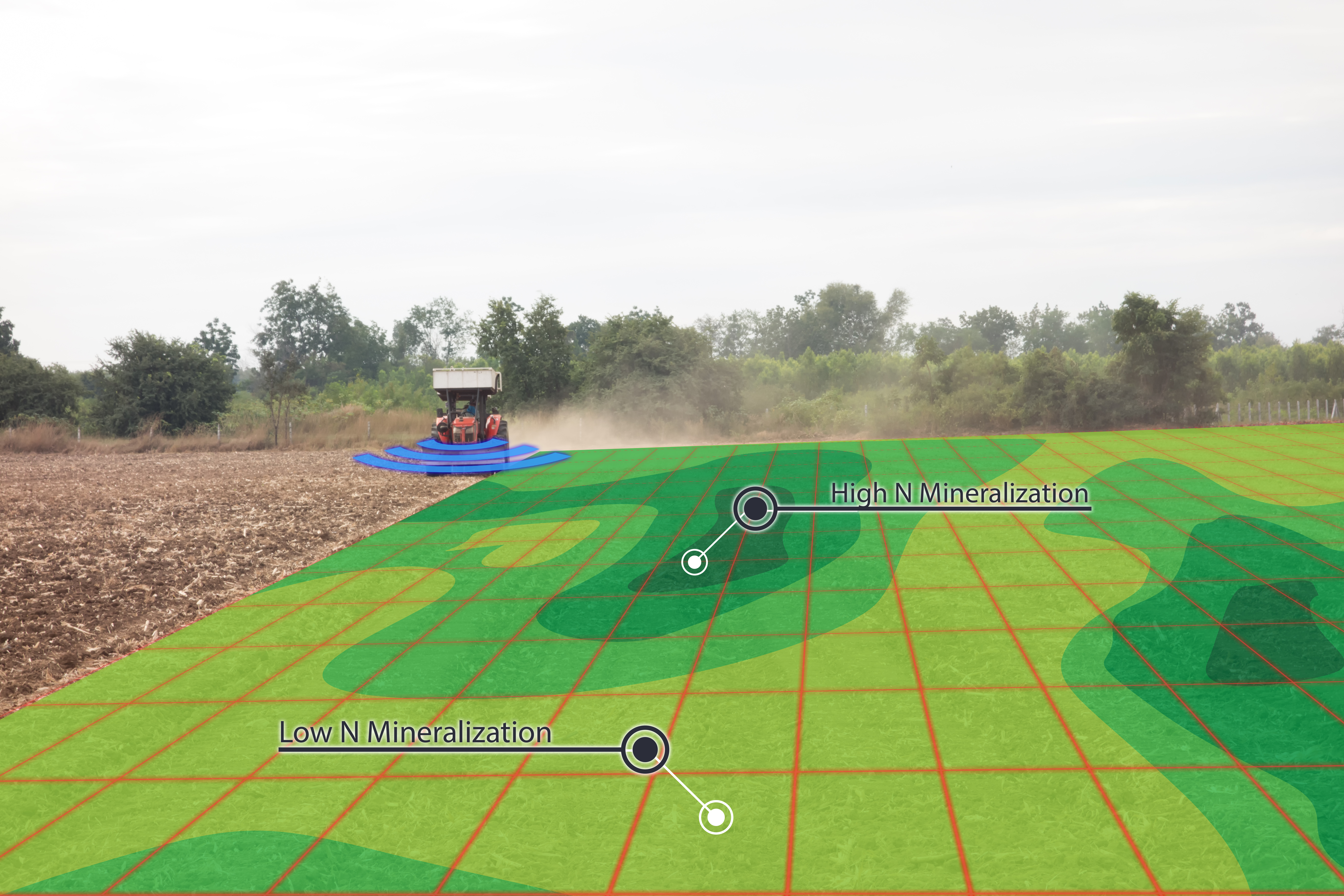
DSM is one of the essential tools in precision farming which involves the creation and population of structural soil information using field and lab observations. It uses the most advanced technology like digital elevation models, geostatistical modeling, and spatial interpolations of the collected soil samples from a given area to obtain the most accurate information about the properties of the soil, the weather, and the crops.
What all information can be received using DSM?
- Precipitation levels: It is significant to know the humidity of every area of the crops. In this way, irrigation can be managed better.
- Soil composition: To identify which elements the soil consists of is essential to know which crops and varieties fit every land plot better.
- pH and conductivity: To determine values like the ph or the soil’s conductivity is fundamental to better choosing the fertilizers and other nutrients.
- Soil fertility: Knowing what fertility can be expected from a land plot is necessary to choose the cultivation times correctly.
- Soil texture: The texture of the soil will allow us to know which sort of fertilizers we can use at every moment and every place.
How is DSM carried out?
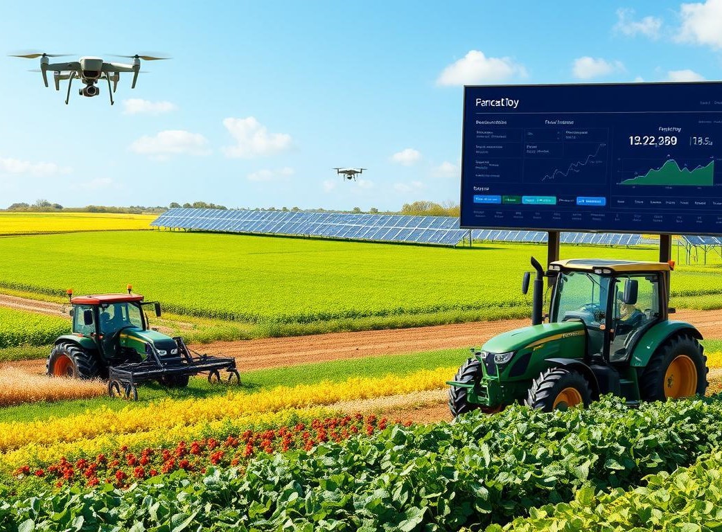
- Electrical and electromagnetic sensors: One of the most frequent ways of soil mapping is to measure its electrical and electromagnetic values. These values allow us to understand the soil composition and other valuable information. The machines which make this sort of map could be terrestrial, like, a tractor furnished with a device capable of measuring these electrical values.
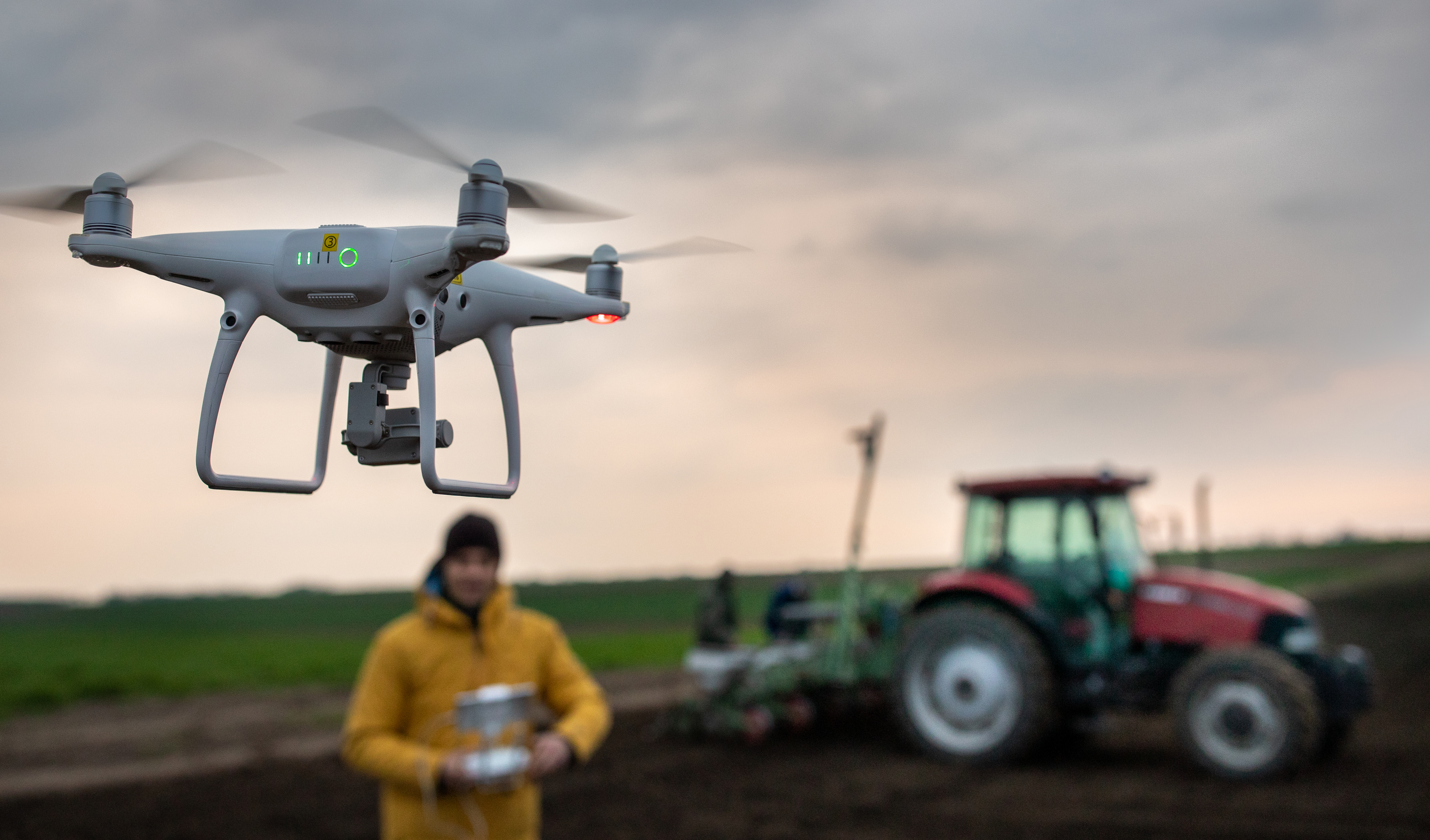
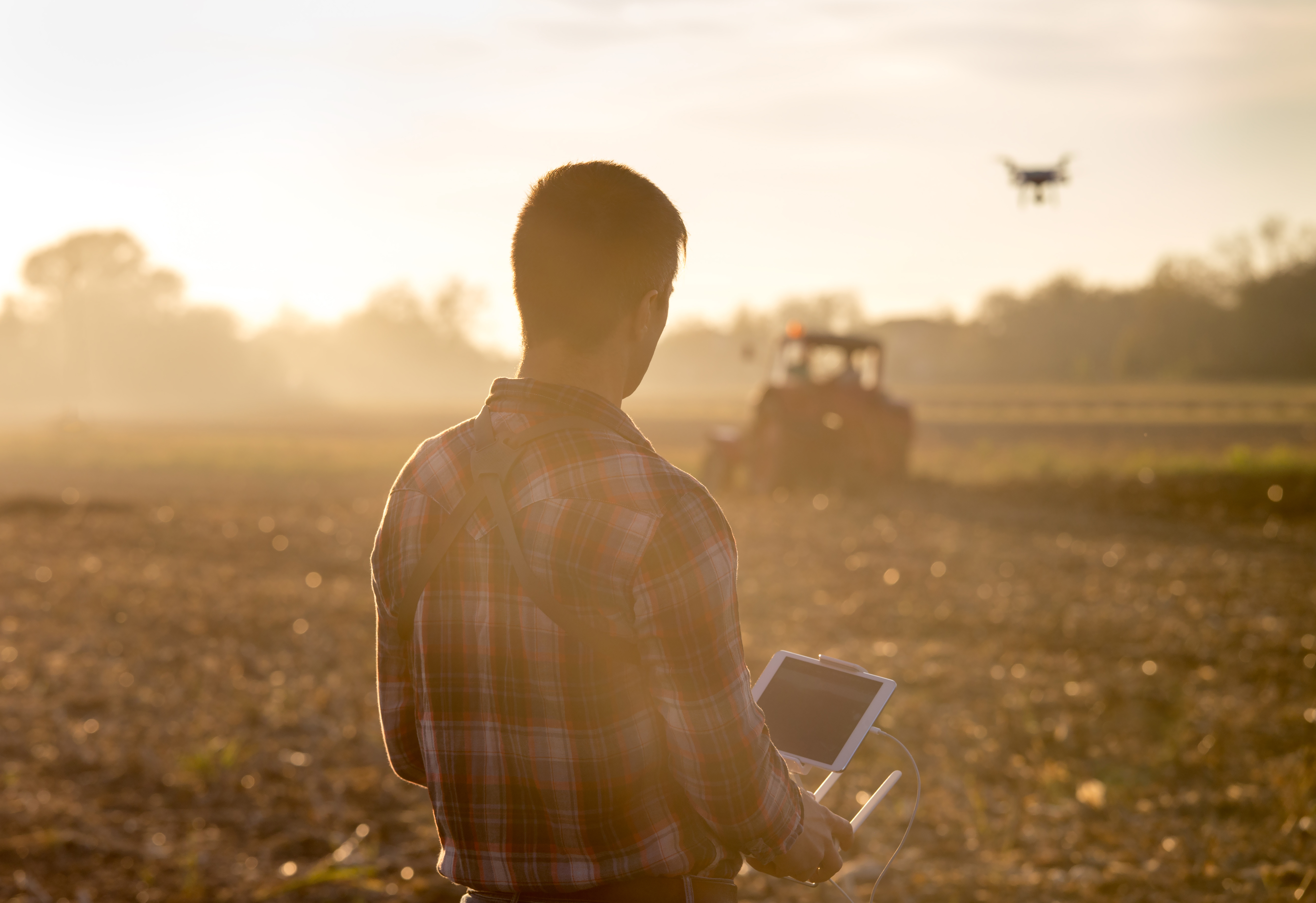
- Optical sensors: The machines can detect the differences in soil color, allowing the interpretation of their characteristics. Drones have been increasingly included in these procedures as they can take accurate pictures of the soil from suitable heights.
- Mechanical sensors: A systematic method to know the composition of a land plot is using tools that determine which sort of elements form this one and which densities when clamped to the soil.
- Electrochemical sensors: These devices can determine the presence of potassium, nitrates, and other elements, as well as their electrical characterization.
Conclusion
This article contains enough layers to enable and understand Digital Soil Mapping as accurately as possible of the soil, its state, prospect, and flaws. With the data provided by DSM farmers can make better decisions when applying different techniques that the crops might require. Knowing the condition of the land plot, it becomes easier to identify which crops will go ahead of time and which ones will be late. That information will allow the farmer to schedule the phytosanitary treatments and apply them at the right time with the correct dose. Soil mapping is, thus, an essential tool in present agriculture since it offers the needed information to reduce the margins of mistakes in the farming business.




 Connect With Us