Real-Time Kinematic (RTK) technology is a satellite positioning system that provides highly accurate positioning data for various applications, including agriculture. RTK uses a network of reference stations to transmit correction data to a receiver, which can then use the data to calculate its position with an accuracy of a few centimetres or less.
How does RTK work in agriculture?
The RTK base station collects data from the positioning of the satellites, then transmits its observations and sends information to receivers. Receivers use real-time carrier phase difference operating on the collected satellite and received information to obtain the most accurate positioning results. This entire process doesn’t even take a full second!
In agriculture, RTK technology is used to improve the accuracy and efficiency of a variety of tasks, including:
- Precision farming: RTK technology can guide farm equipment with great accuracy, allowing farmers to apply fertilisers, pesticides, and other inputs more precisely, reducing waste and increasing yields.
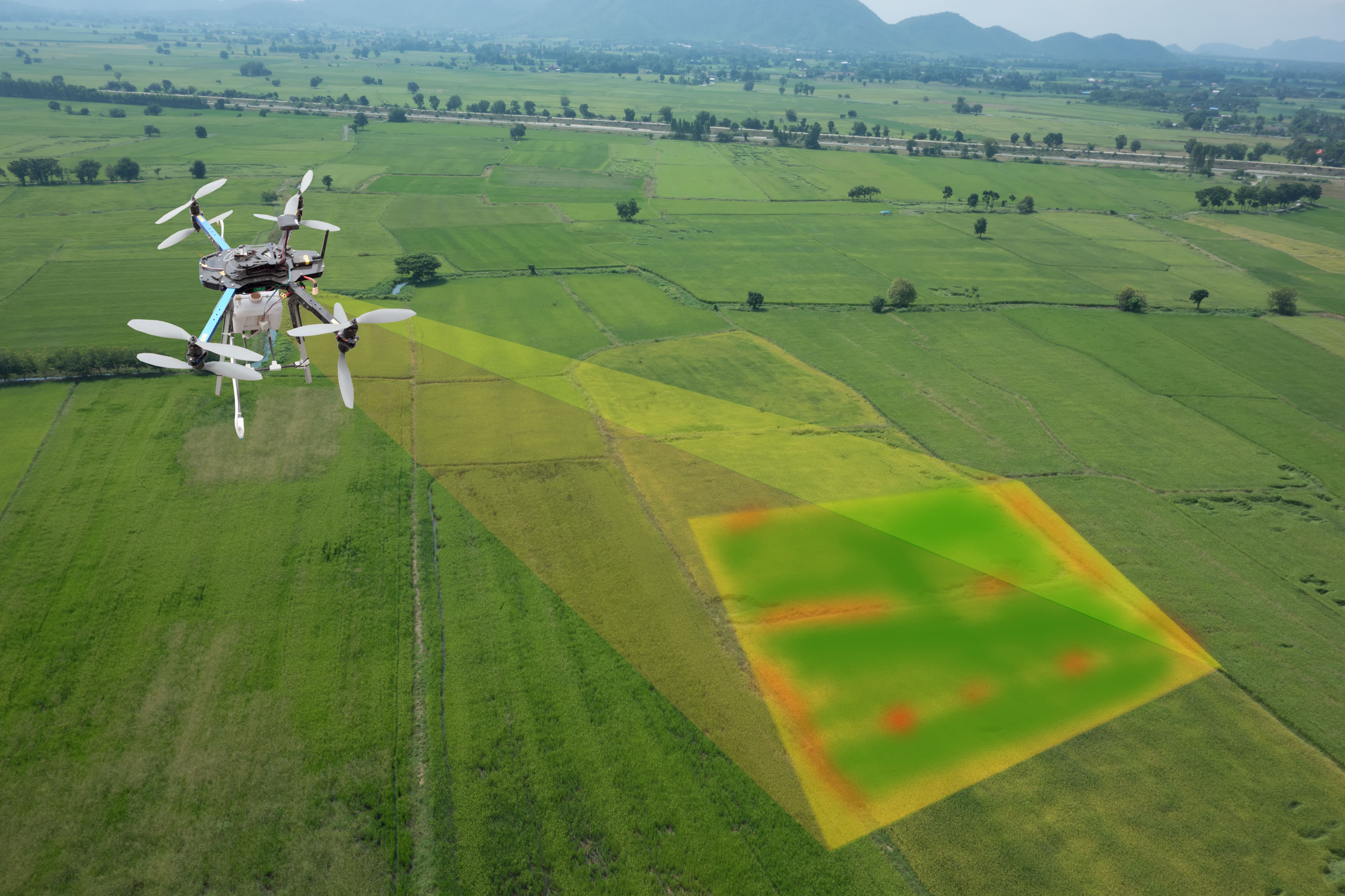
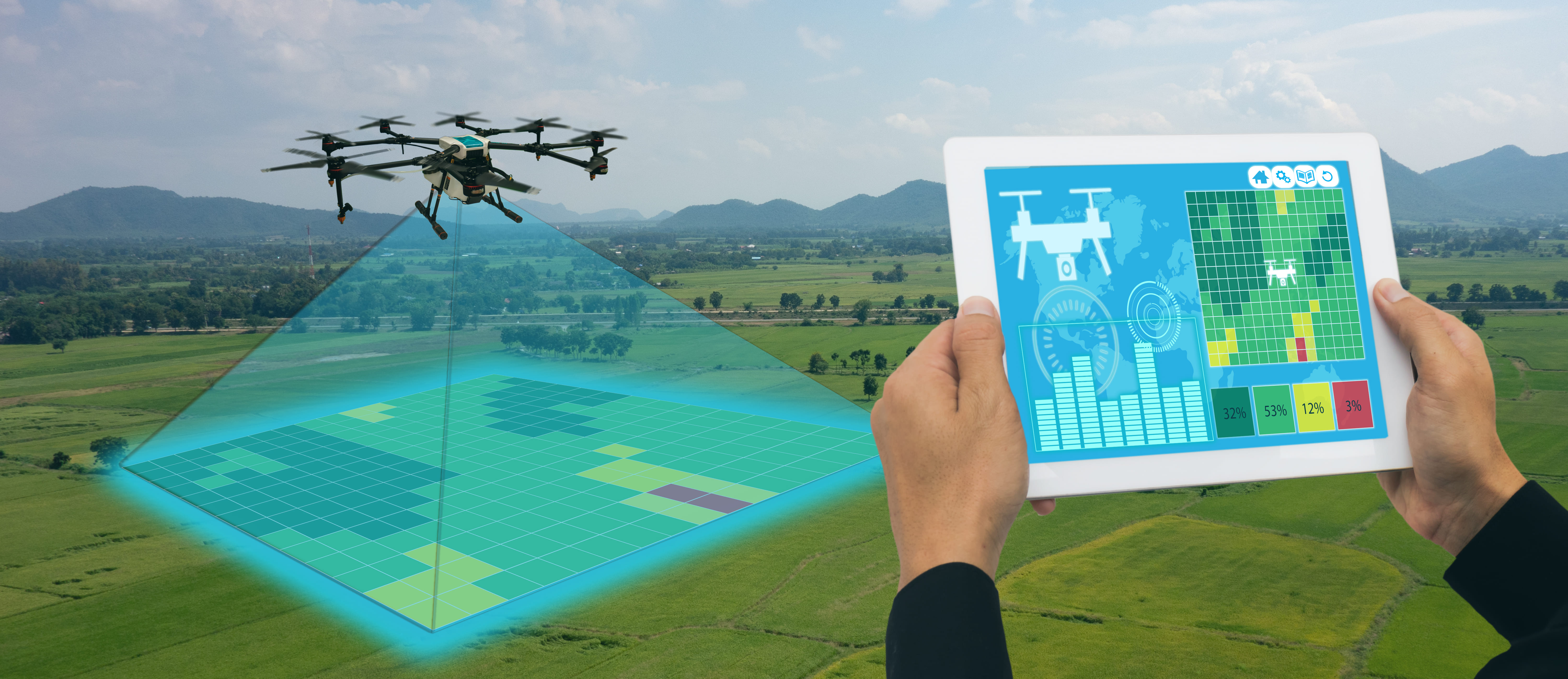
- Mapping: RTK technology can be used to create highly accurate maps of fields, including topographic maps showing the land’s contours. This can be used to identify areas of the field that may require more attention or irrigation.
- Yield mapping: RTK technology can track the yield of different crops in a field, allowing farmers to identify areas producing more or less than expected and adjust accordingly.
- Soil sampling: RTK technology can guide soil sampling equipment with great accuracy, allowing farmers to collect soil samples from specific field areas for analysis.

Conclusion
Overall, RTK technology can help farmers improve their operations’ efficiency and productivity while reducing their activities’ environmental impact. For example, the accuracy allows farmers and agribusinesses to place seeds and fertiliser in particular spots in their farms, improving their farming decisions & operations’ efficiency. In addition, the technology assists farmers and agribusinesses in tracking their crops as they grow.
A similar solution is Agribhumi by agribazaar, developed for crop yield modelling and forecasting using machine learning techniques, remote sensing & GIS technology. Crop yield forecasting is required across regions and farms. Hence it is based on Earth observation satellite data!