Tag
GIS
 India's fastest growing agritech startup | agrimarketplace

A farm may look like a single stretch of land from the road, but conditions can vary significantly from one …
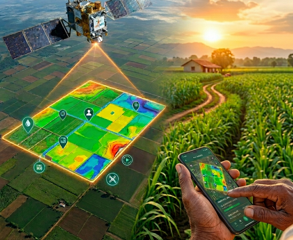
What if a farmer could detect crop stress before it’s even visible? Or a lender could assess farm risk without …

कृषि क्षेत्र को बढ़ावा देने और किसानों को अधिक सशक्त-समृद्ध बनाने के लिए भारत सरकार निरंतर अहम कदम उठा रही …

Did you know that Uttar Pradesh is India’s top farming state with a total gross cropped area of 25.415 million …

Imagine having a digital profile for your farm, created by using cutting-edge technology like satellite data, machine learning, and remote …

Uttar Pradesh Chief Minister Yogi Adityanath has opened an AI-driven Geographic Information Systems (GIS command centre in Lucknow. The centre …

निरंतर उभरती विकसित तकनीकों के साथ हमें परंपरागत कृषि तकनीक और खेती पद्धतियों में भी बदलाव लाने की जरुरत है, …