 Jyoti Sharma
November 19, 2026
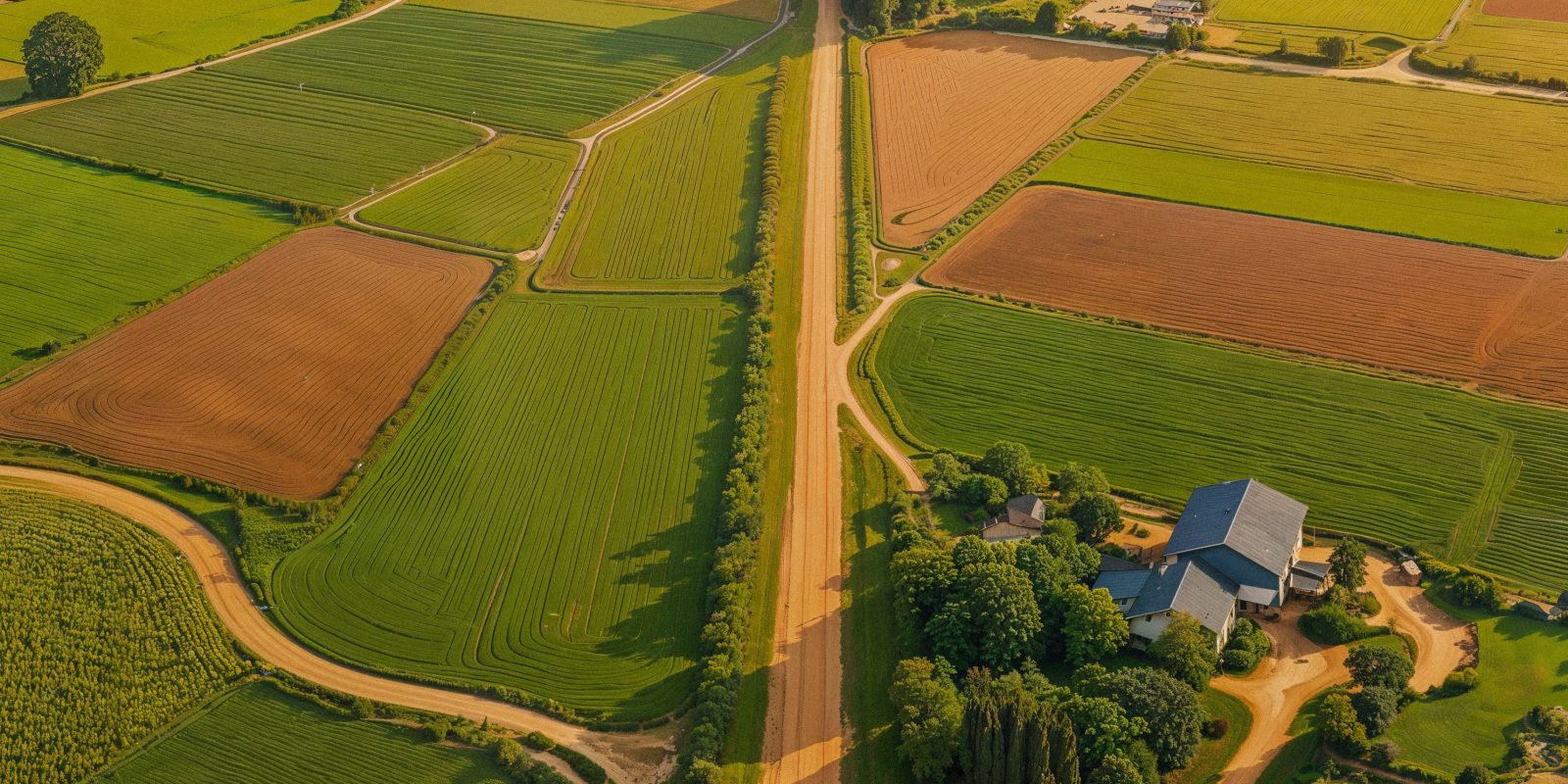
Have you ever wondered why two neighbouring plots of agricultural land can produce very different yields, even when they receive similar rainfall and are cultivated using the same practices?
Soil is rarely uniform across an agricultural landscape. Its texture, nutrient composition, moisture retention, acidity and organic matter can vary significantly, sometimes even within the same farm.
Knowing these differences is important as agriculture moves towards more precise, data-driven decision-making. This is where digital soil mapping comes into play. By combining geographical information systems (GIS), satellite imagery, remote sensing, and field-based soil observations, digital soil mapping helps identify variations in soil characteristics and translates them into useful information for agricultural planning.
What is digital soil mapping?
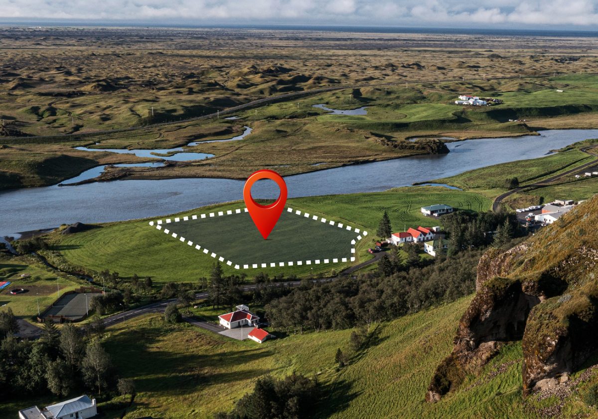
Digital soil mapping is the process of creating detailed digital representations of soil properties across geographical areas using scientific data and technology.
Traditional soil surveys generally depend on physical sampling and laboratory analysis at selected locations. While these methods remain essential, they may not capture every variation across large agricultural landscapes.
Digital soil mapping expands this approach by combining soil sample results with satellite imagery, terrain characteristics, climate information, land-use patterns and geospatial analysis. The resulting maps help identify differences in parameters such as:
- Soil texture, including sand, silt and clay content.
- Soil pH and electrical conductivity.
- Organic carbon and nutrient availability.
- Soil moisture and water-retention capacity.
- Drainage conditions and erosion susceptibility.
These insights help farmers, agronomists and agricultural planners understand the characteristics of individual plots rather than treating an entire agricultural area as one uniform unit.
Why does soil variability matter in agriculture?
Soil variations directly influence how crops grow and respond to agricultural inputs. A plot with high clay content may retain more moisture, while sandy soil may drain water quickly. Similarly, one section of a farm may have sufficient phosphorus but lack potassium, while another may show an entirely different nutrient profile. Applying the same quantity of fertiliser, water or soil amendments across both areas may therefore be inefficient.
Soil variability matters for several reasons.
- Better crop selection: Different crops have different soil requirements. Digital soil maps help identify areas suitable for particular crops based on soil texture, pH, drainage and nutrient characteristics. This can support more informed crop planning and diversification.
- More precise fertiliser application: Understanding nutrient distribution helps identify areas that require specific nutrients and those that already have sufficient levels. This encourages balanced fertiliser use and reduces unnecessary input application.
- Improved water management: Soil texture and water-retention capacity influence irrigation requirements. Mapping these characteristics can help identify areas that need more frequent irrigation and those where excess watering may cause problems.
- Early identification of soil constraints: Salinity, acidity, erosion and poor drainage can affect crop development. Digital mapping helps locate such areas, allowing farmers and agricultural experts to plan suitable corrective measures.
How does digital soil mapping identify variations?
The process combines multiple layers of information to create a more comprehensive picture of agricultural land.
Satellite imagery and remote sensing: Satellite data helps assess vegetation patterns, surface conditions, moisture indicators and land characteristics. These observations can highlight areas that may require closer investigation.
GIS-based analysis: Geographic Information Systems bring together soil samples, topography, rainfall, land use and other spatial datasets. This allows different soil characteristics to be examined across specific geographical locations.
Ground-based soil sampling: Technology does not eliminate the need for physical soil testing. Samples collected from different locations provide laboratory-verified information that helps validate and improve digital maps.
Predictive modelling: Statistical and machine-learning models can analyse relationships between environmental factors and measured soil properties to estimate their distribution across locations where samples are unavailable.
India’s growing focus on digital soil intelligence
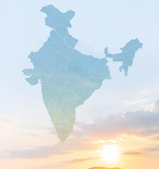
India is steadily strengthening its soil information ecosystem through scientific surveys and digital agriculture initiatives.
According to the Ministry of Agriculture and Farmers Welfare, 25.89 crore Soil Health Cards had been generated by March 2026. During FY 2025-26, approximately 97.53 lakh soil samples were collected, of which 92.87 lakh were tested. These figures highlight the scale of India’s efforts to improve soil assessment and nutrient management.
The government is also developing village-level soil fertility maps to identify spatial variations in nutrient availability. Mapping has been undertaken in 6,954 identified model villages, with work completed in 2,023 villages under the National Mission for Sustainable Agriculture.
Another important development is the Digital Agriculture Mission, which envisages a comprehensive Soil Fertility and Profile Map alongside AgriStack and the Krishi Decision Support System. The broader digital ecosystem integrates geospatial information, crop data, satellite imagery and other agricultural datasets to support informed decision-making.
From soil data to better farm decisions
The real value of digital soil mapping lies in how effectively the information is used. A digital map alone cannot improve agricultural productivity. Its insights need to be translated into practical recommendations that farmers and agricultural stakeholders can act upon.
For instance, if a farm has different soil moisture levels across its sections, the information can support more targeted irrigation planning. Similarly, identifying nutrient deficiencies can help develop plot-specific fertiliser recommendations.
agribazaar brings together technology-driven agricultural intelligence, including satellite-based assessment, GIS mapping, crop monitoring and advisory capabilities. Its digital ecosystem, through solutions such as Agribhumi, Farm Scorecard and Crop Doctor, supports better visibility into agricultural land and crop conditions.
By combining geospatial insights with crop and field-level information, such solutions can help make agricultural decisions more informed and data-led.
What lies ahead for digital soil mapping?
The next phase of digital soil mapping will likely focus on making soil information more detailed, accessible and actionable.
Higher-resolution satellite imagery, artificial intelligence, improved soil databases and real-time field observations can help strengthen the accuracy of soil assessments. Integrating soil maps with crop surveys, weather information and irrigation data can also provide a more complete understanding of agricultural conditions.
However, reliable ground validation, updated datasets and easy-to-understand farmer advisories will remain essential. Digital maps must reflect changing land conditions and translate scientific findings into practical guidance.
Ultimately, every agricultural plot has its own characteristics. Recognising these differences is the first step towards managing them better. Digital soil mapping enables us to look beyond the surface and understand what agricultural land actually needs.
FAQs
- What is digital soil mapping in agriculture?
Digital soil mapping uses GIS, satellite imagery, remote sensing, soil samples and predictive models to create geographical maps showing variations in soil properties across agricultural land.
- Which soil properties can digital soil mapping identify?
It can help assess soil texture, pH, organic carbon, nutrient availability, salinity, moisture conditions and other characteristics, depending on the datasets and mapping methods used.
- How does digital soil mapping help farmers?
It supports better crop selection, targeted fertiliser application, irrigation planning and identification of soil-related constraints, helping farmers make more informed decisions.
- Is digital soil mapping a replacement for soil testing?
No. Physical soil sampling and laboratory testing remain essential for accurate measurements. Digital mapping combines these observations with spatial data to provide wider geographical coverage.
- What is the role of GIS and satellite imagery in digital soil mapping?
GIS helps combine and analyse geographical datasets, while satellite imagery provides information about land characteristics and vegetation patterns. Together, they support the identification and mapping of soil variations.
Disclaimer
The content published on this blog is provided solely for informational and educational purposes and is not intended as professional or legal advice. While we strive to ensure the accuracy and reliability of the information presented, agribazaar make no representations or warranties of any kind, express or implied, about the completeness, accuracy, suitability, or availability with respect to the blog content or the information, products, services, or related graphics contained in the blog for any purpose. Any reliance you place on such information is therefore strictly at your own risk. Readers are encouraged to consult qualified agricultural experts, agronomists, or relevant professionals before making any decisions based on the information provided herein. agribazaar, its authors, contributors, and affiliates shall not be held liable for any loss or damage, including without limitation, indirect or consequential loss or damage, or any loss or damage whatsoever arising from reliance on information contained in this blog. Through this blog, you may be able to link to other websites that are not under the control of agribazaar. We have no control over the nature, content, and availability of those sites and inclusion of any links does not necessarily imply a recommendation or endorsement of the views expressed within them. We reserve the right to modify, update, or remove blog content at any time without prior notice.